
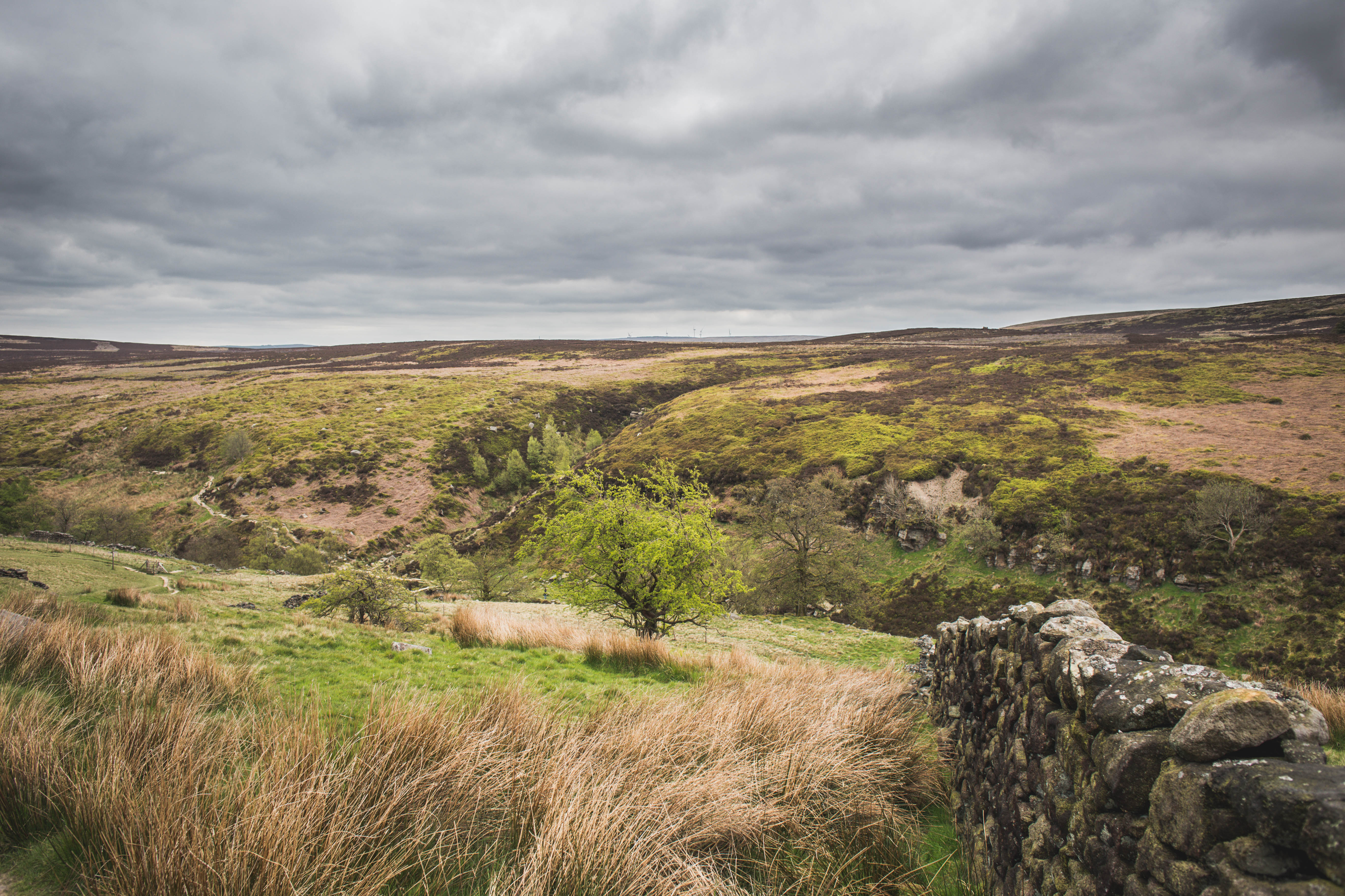
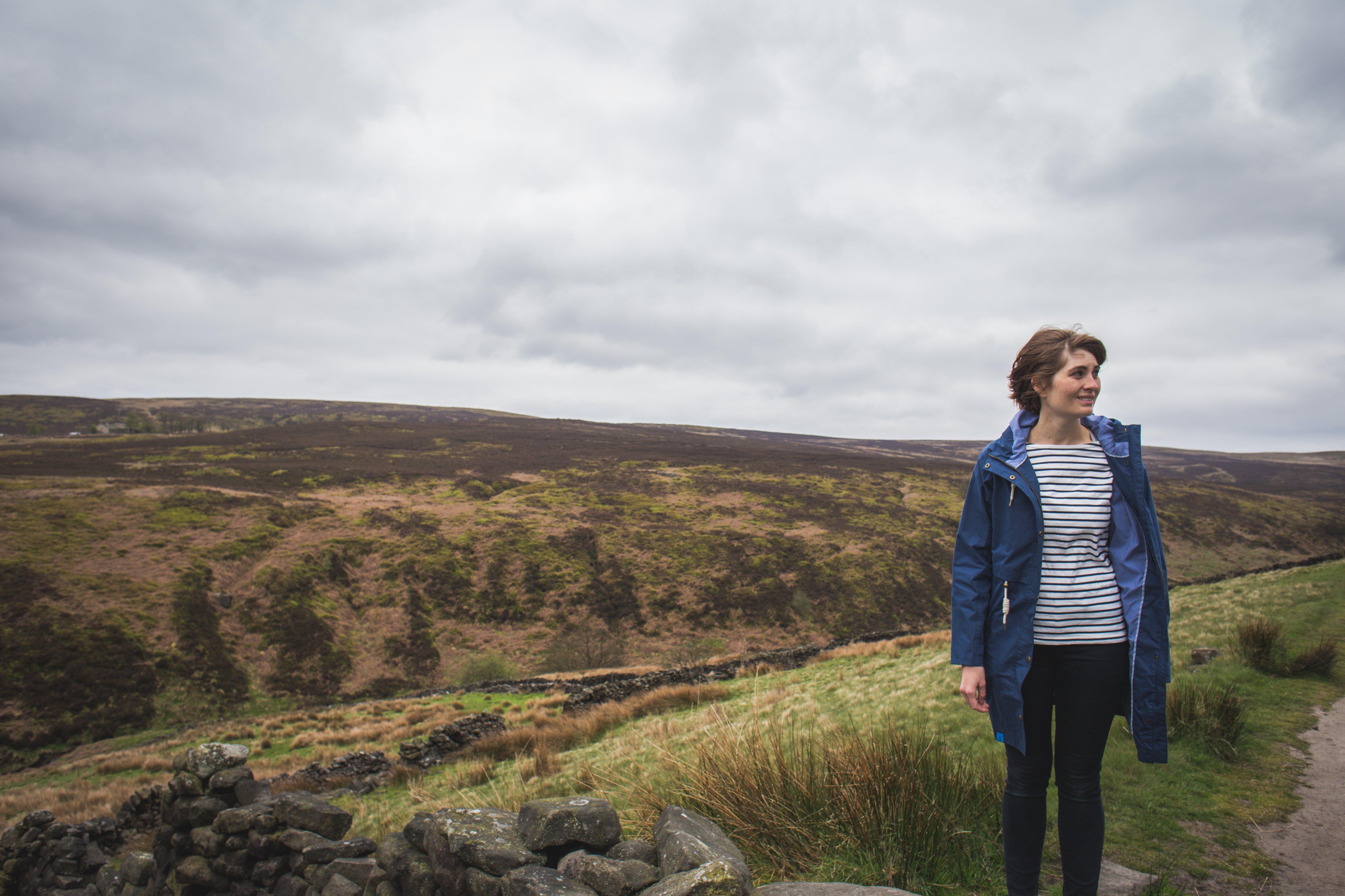
One of my favourite things about living in the North of England now, is the sheer raw beauty of the countryside. You can completely see why so many authors have been inspired by it.
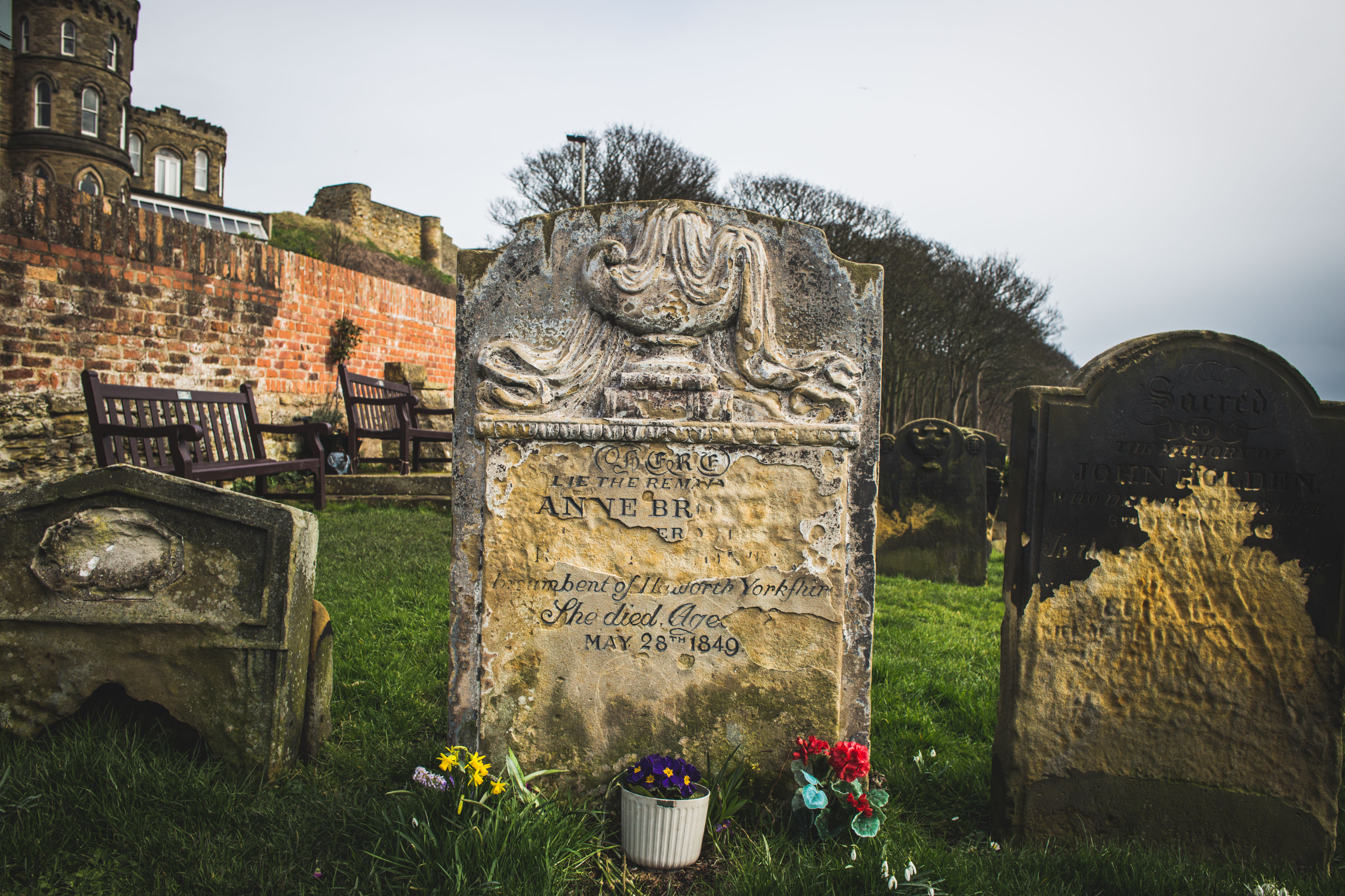
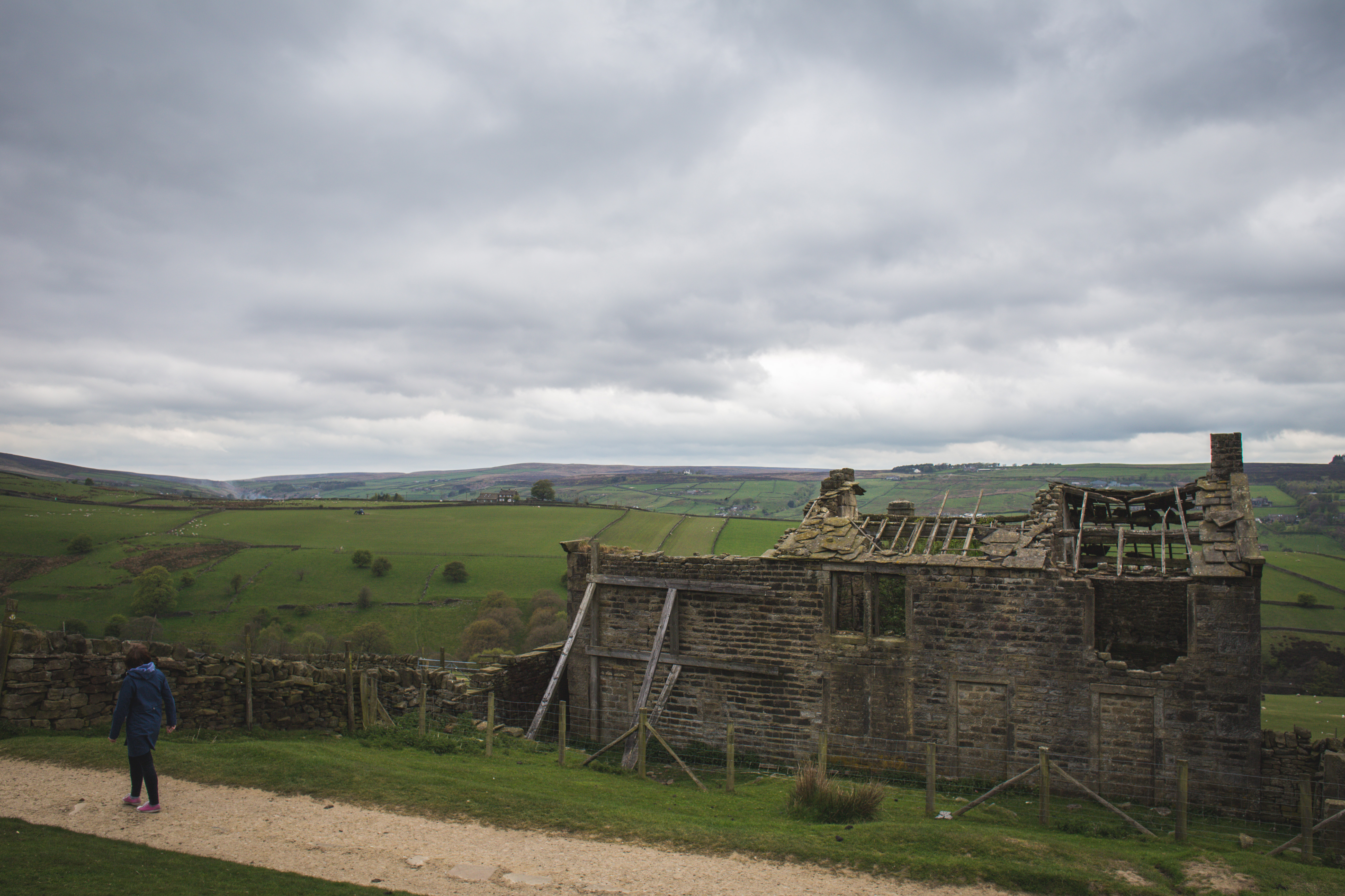
I recently visited Haworth where the Brontes all grew up and lived; you can still walk out of town to the “Bronte Bridge”, the girls’ favourite picnic spot or hike out on the moors to Top Withens, an extremely isolated ruined farmhouse that was supposedly the inspiration for “Wuthering Heights”. And you don’t even have to be in West Yorkshire to get some Bronte inspiration, you can visit Scarborough to see where Anne was buried and where she frequently visited as a governess. Anne even kept rocks from Scarborough beach in her workbox. “Wuthering” is a very old Yorkshire word for stormy weather and it’s almost impossible to separate all three writers from the influences of the landscape that they grew up in.
So here’s my guide to the Yorkshire of the Brontes (with a focus on the walk from Haworth to the Bronte Bridge, to Top Withens, through the village of Stanbury and back to Haworth).
1. In Haworth you can visit the parsonage where the family lived, and also the Black Bull Pub where their brother Branwell may have spent too much time. You can also visit the church where Charlotte and Emily are buried.
2. If you’re feeling super energetic you can walk from neighbouring Keighley to Haworth. It’s around a 4 mile walk and the Brontes famously were thought odd for walking to Keighley. When Sylvia Plath visited Haworth she walked from Keighley as an homage / female writer pilgrimage.
3. Visit Anne’s grave in Scarborough.
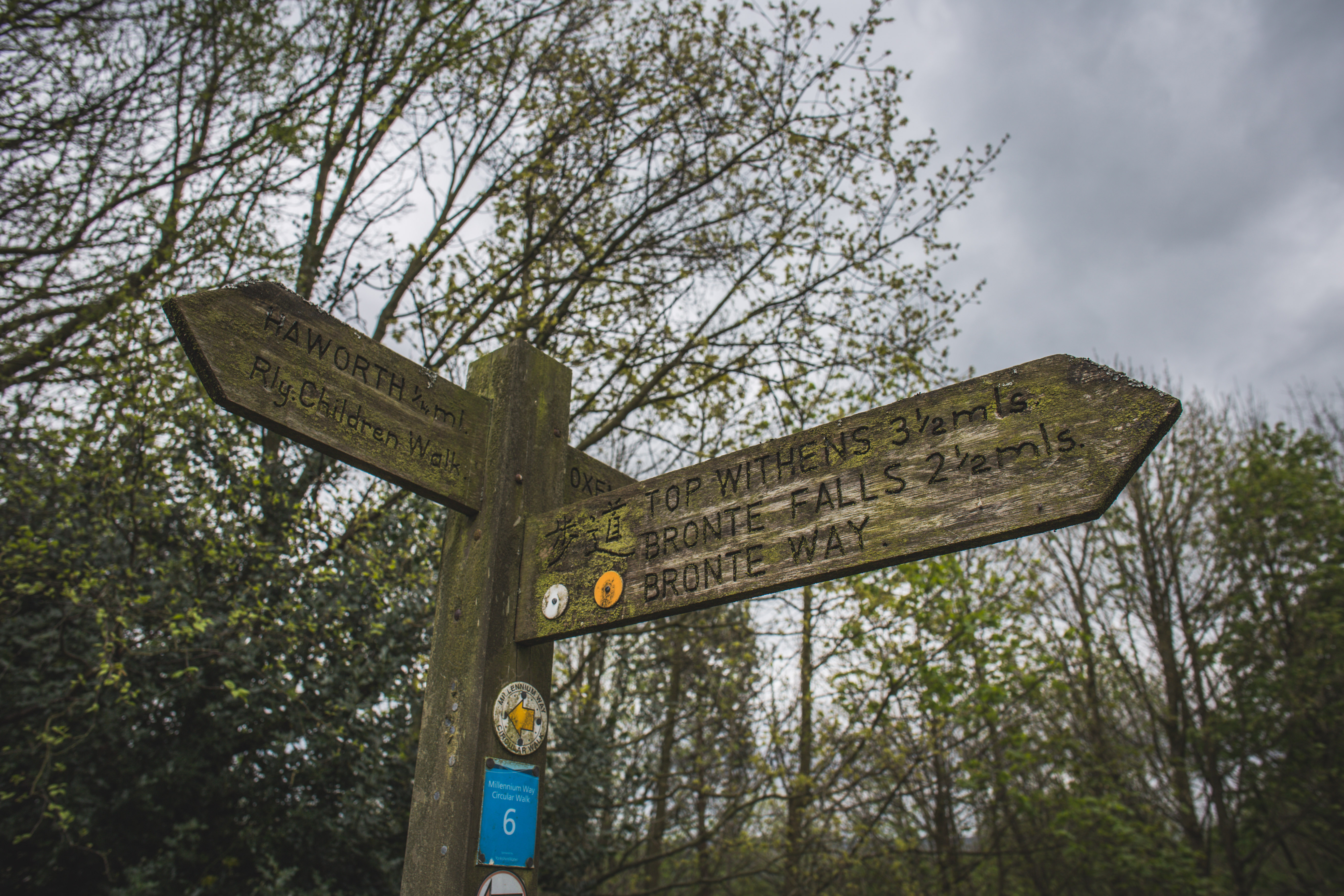
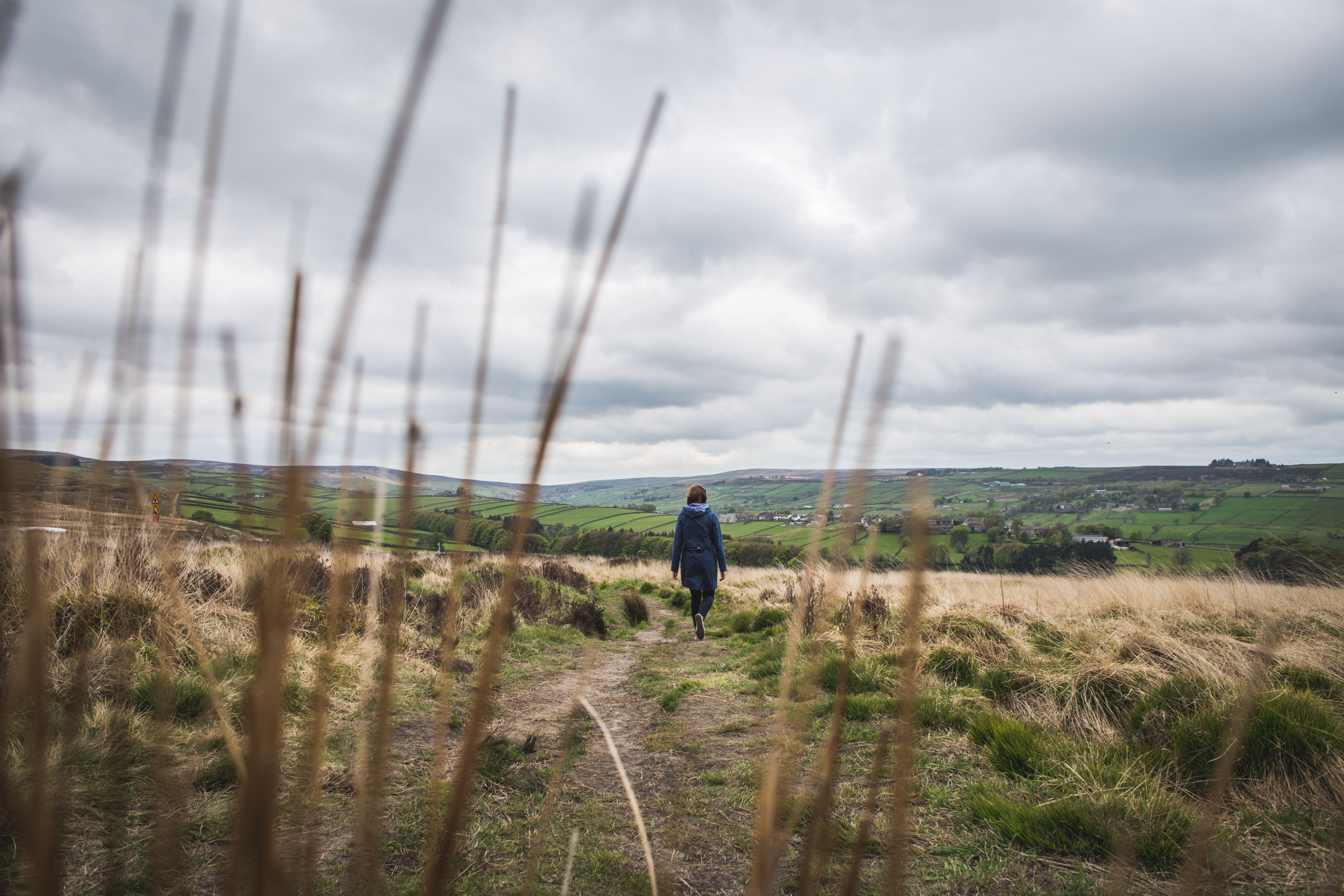
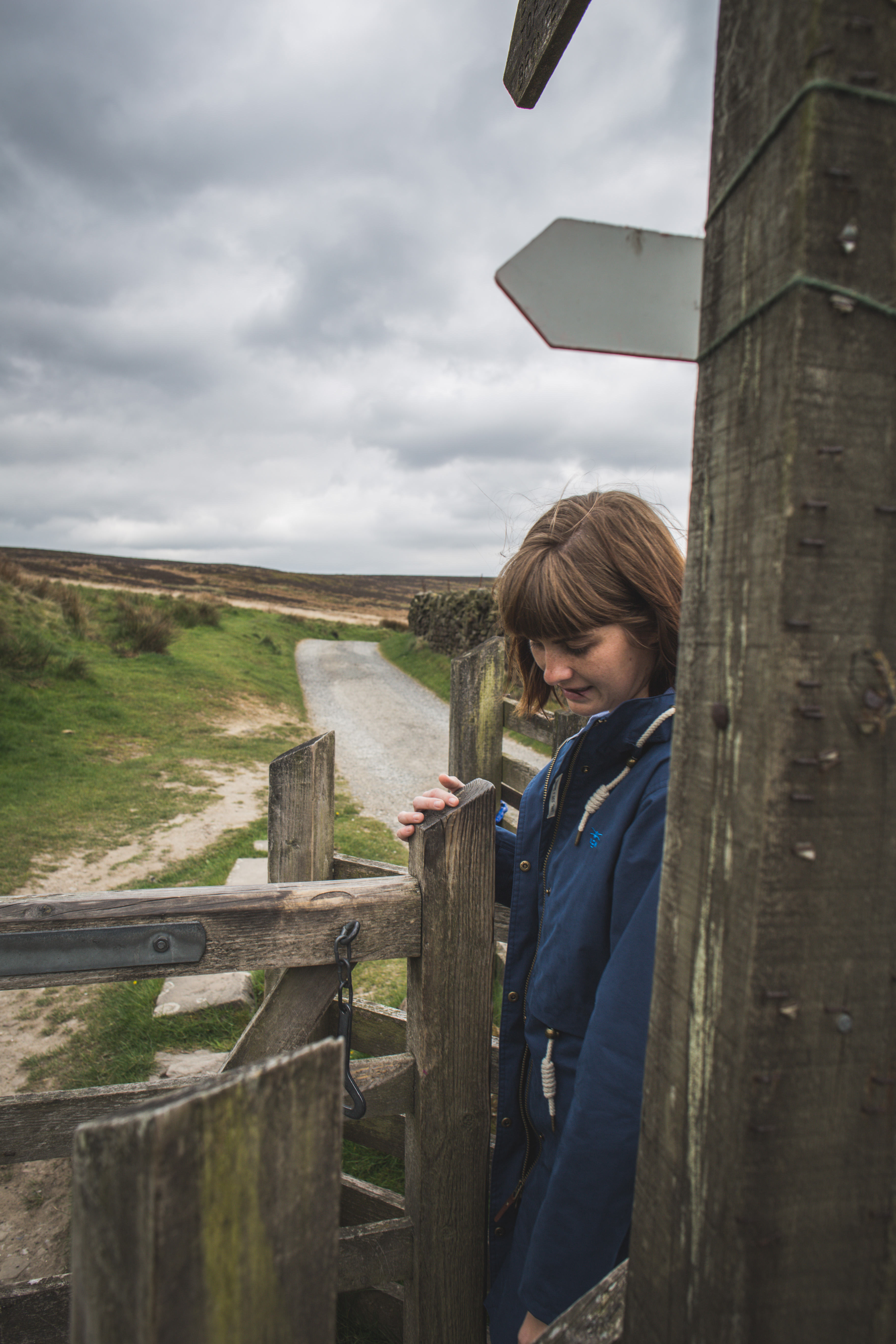
4. Walk to the Bronte Bridge and Top Withens.
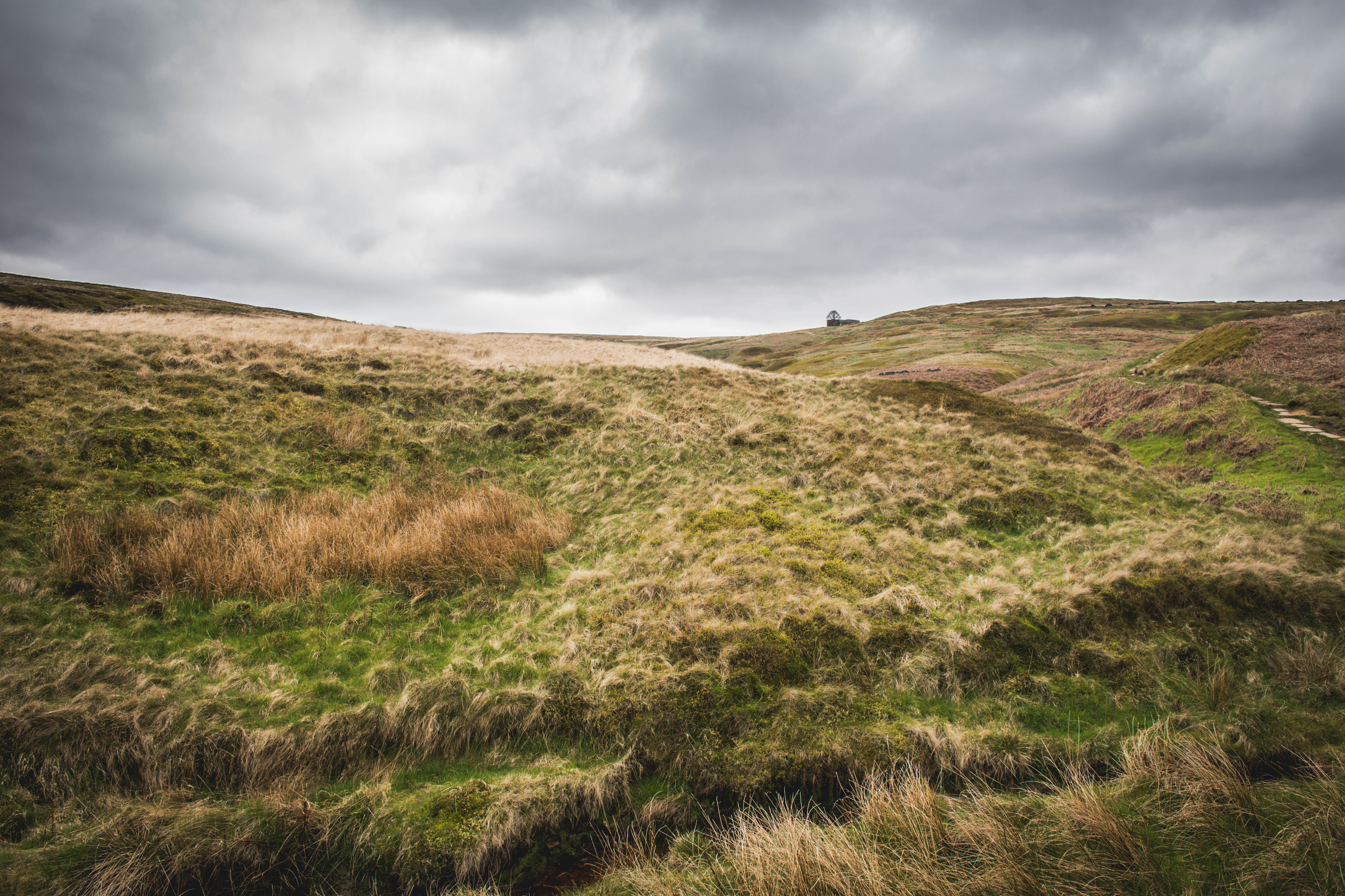
Top Withens, as viewed from a distance.
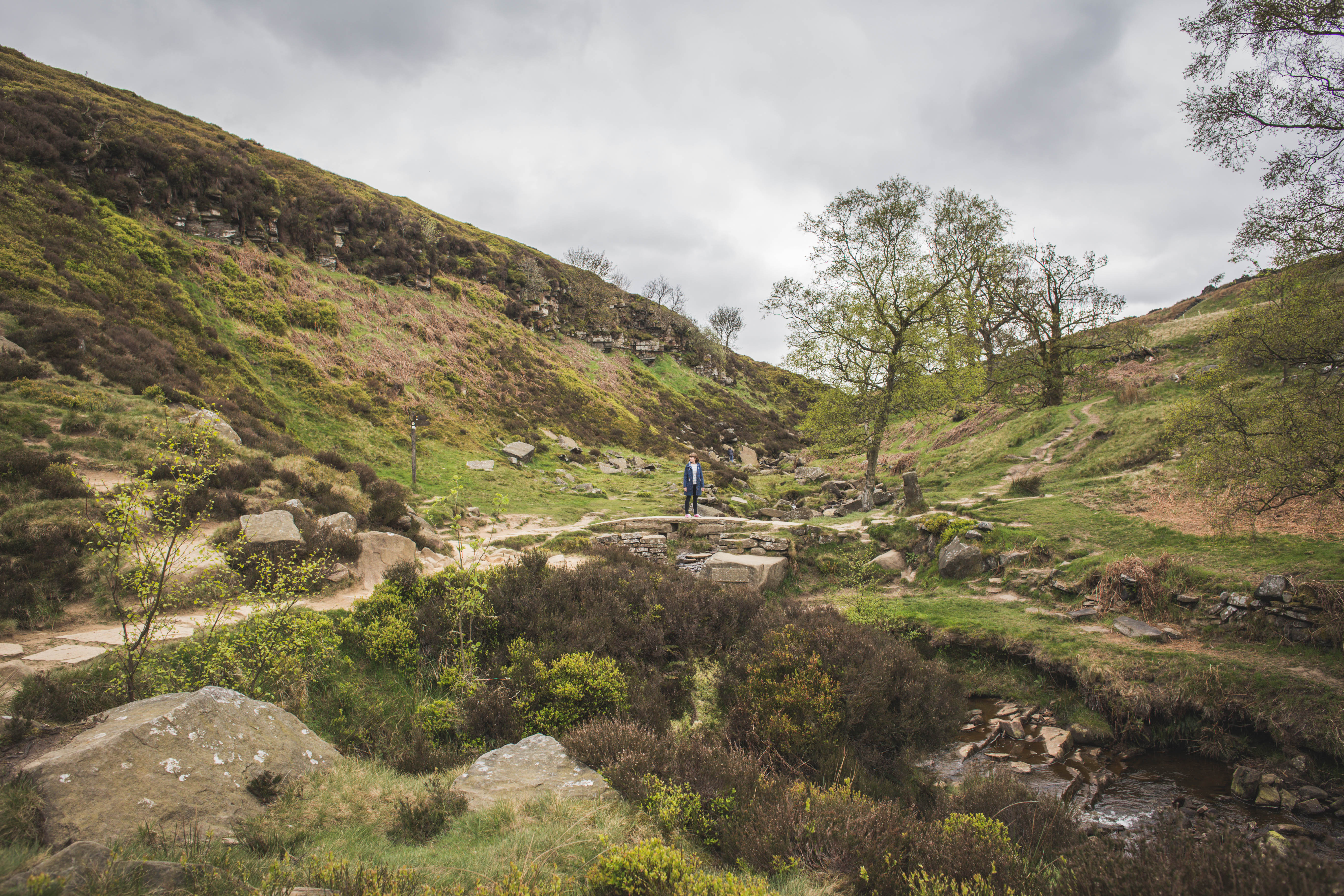
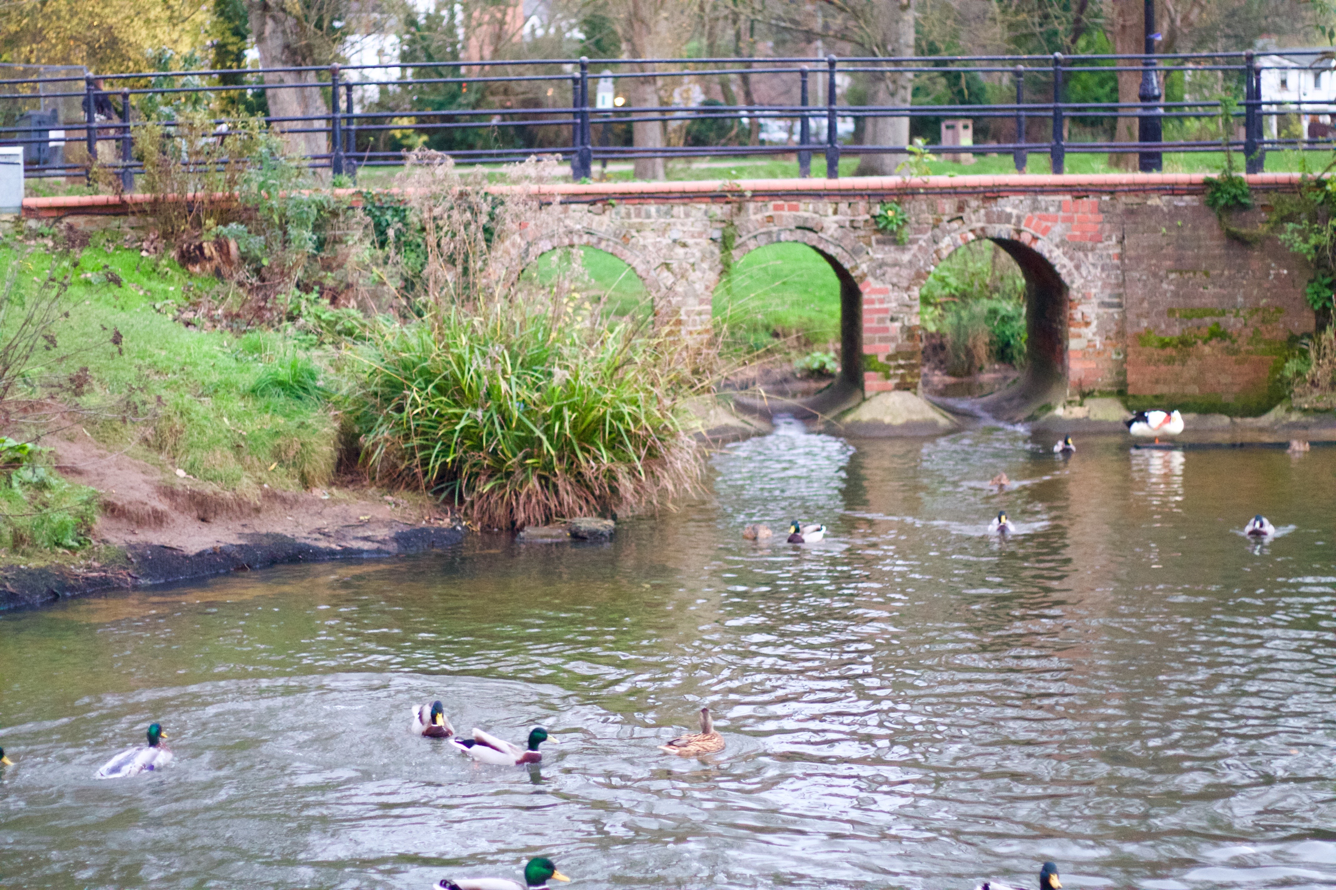
On the Bronte Bridge.
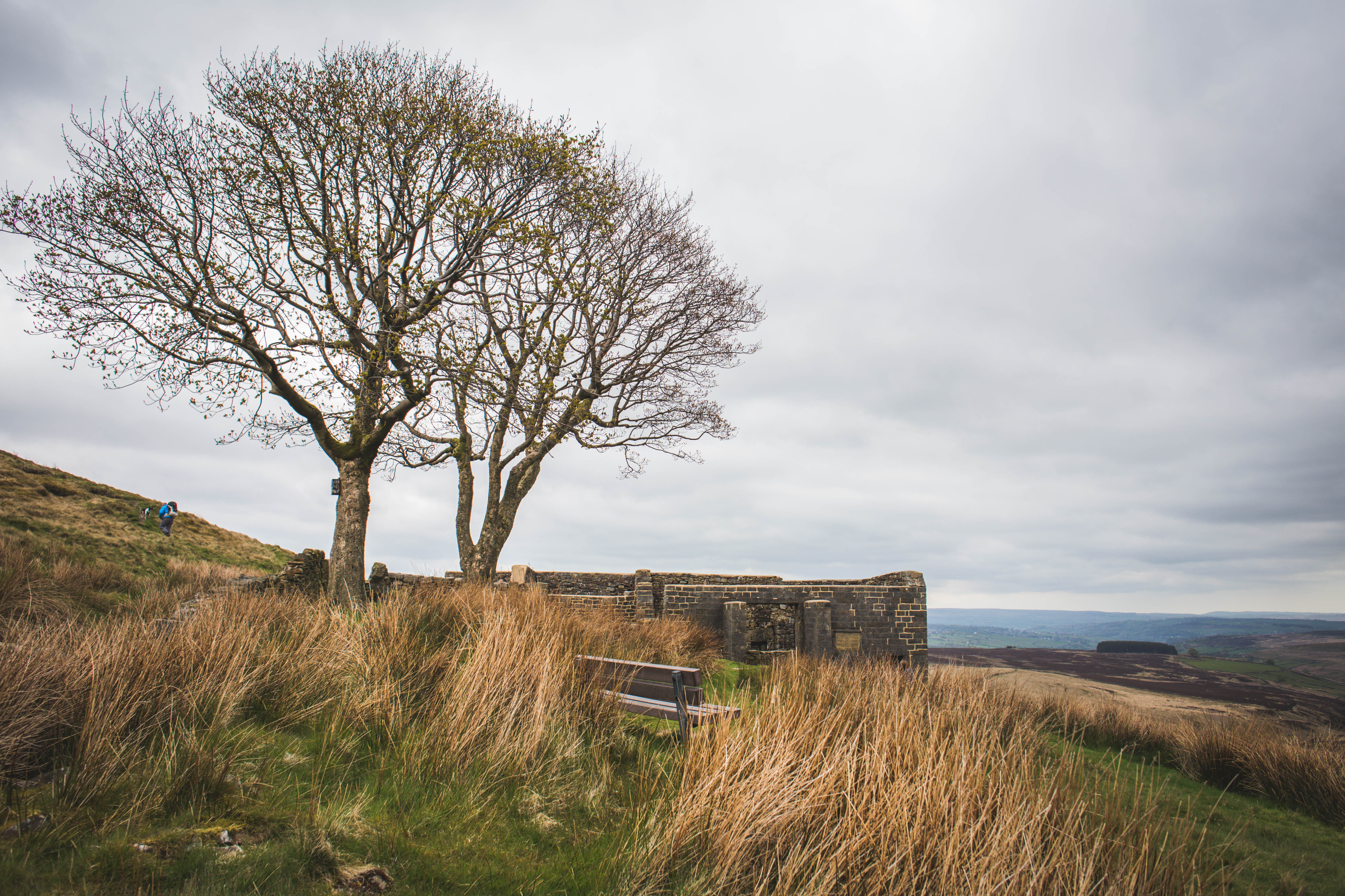
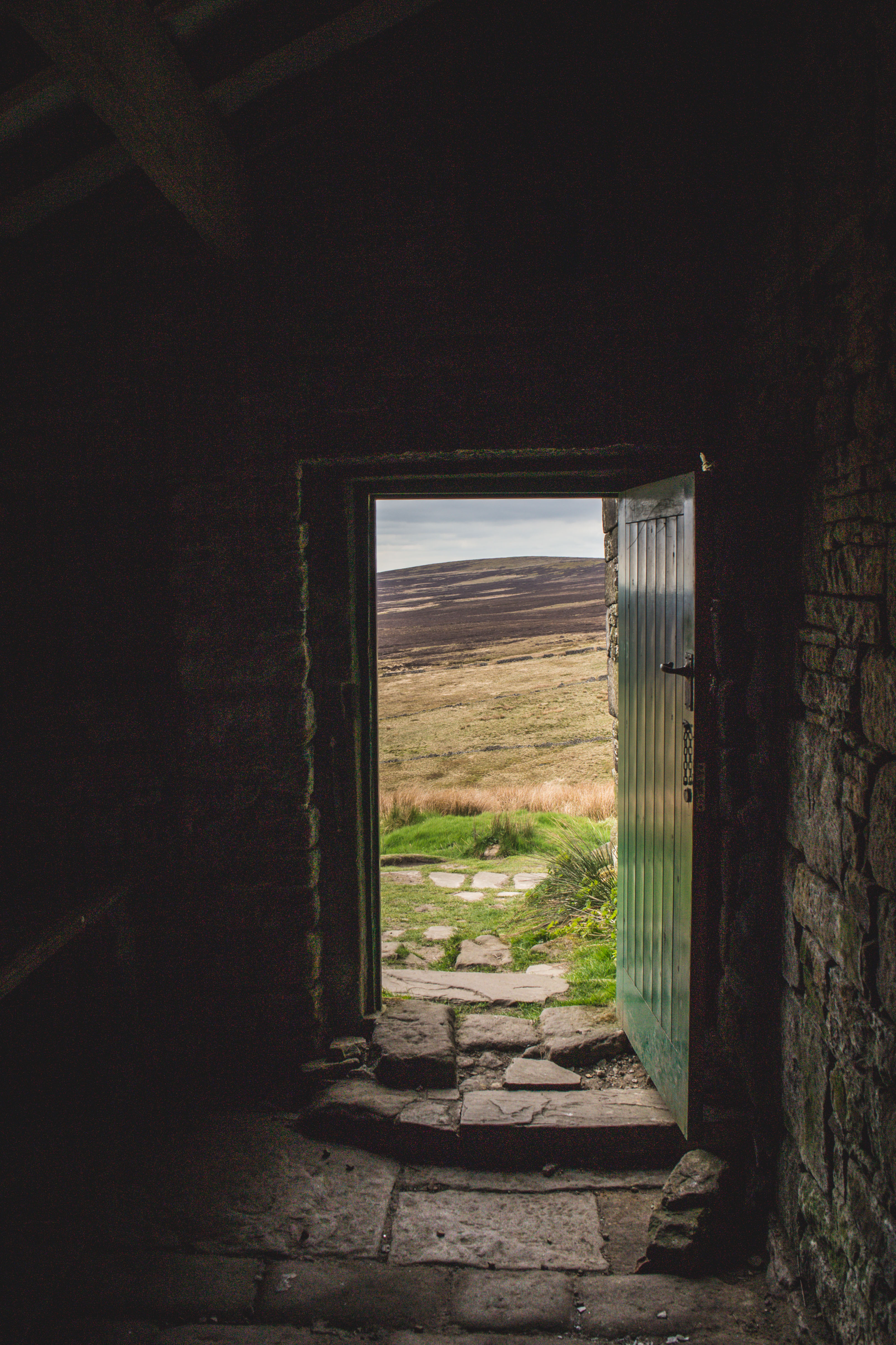
Inside Top Withens. 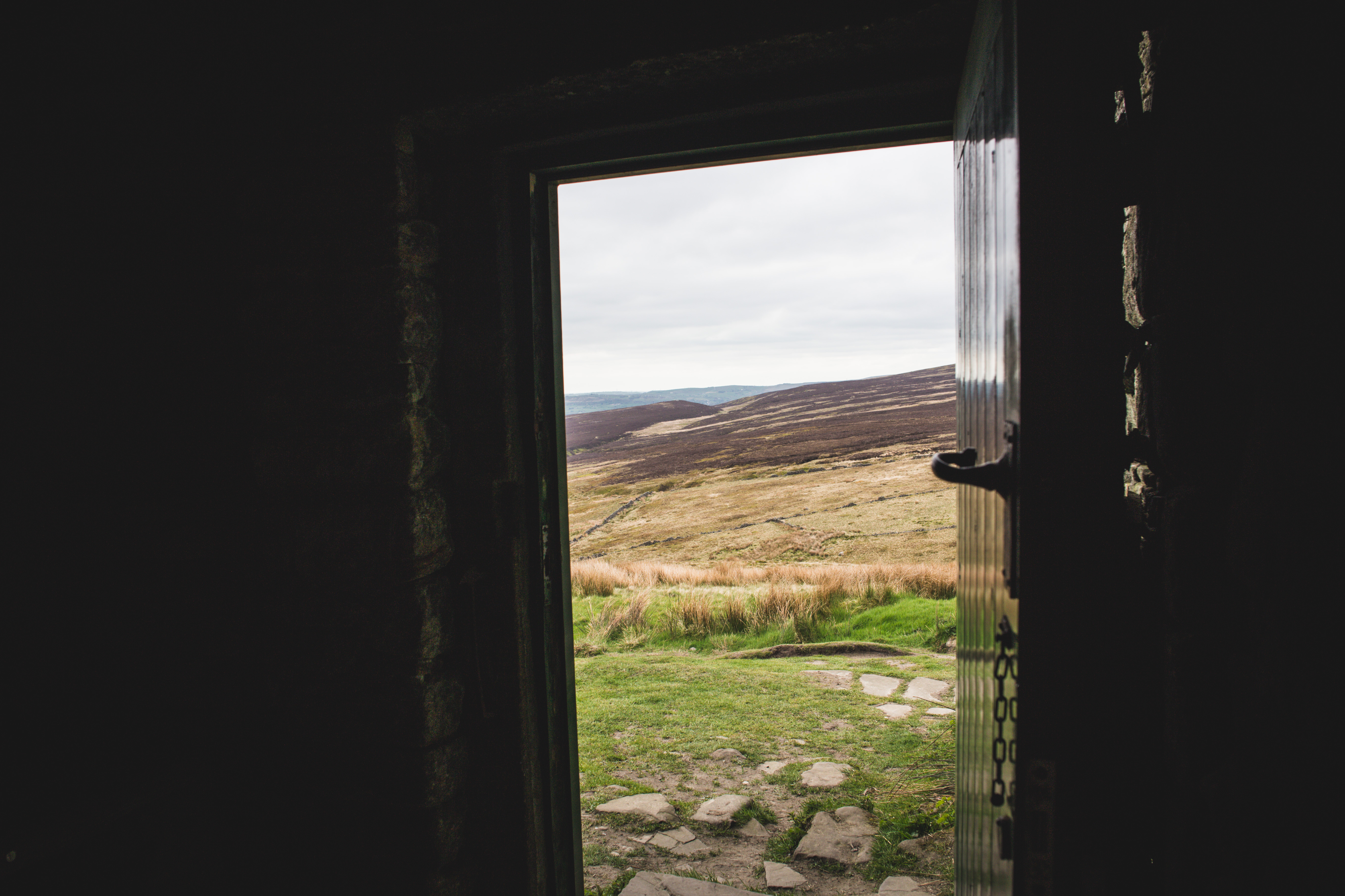
The Guardian had a great walking guide as the route is signposted really well in some places, and gets quite confusing across the moors in other places. I used their mapped route, however, it is a few years out of date so some of their directions are no longer applicable. Here’s my updated route, based on theirs, from Haworth to Top Withens, through Stanbury and back:
Step 1. Start at the tourist office on the main street. With your back to the door, you will see a cobbled alley on your right.
Step 2. Go up the alley and turn to the left. Go through a gate into the churchyard.
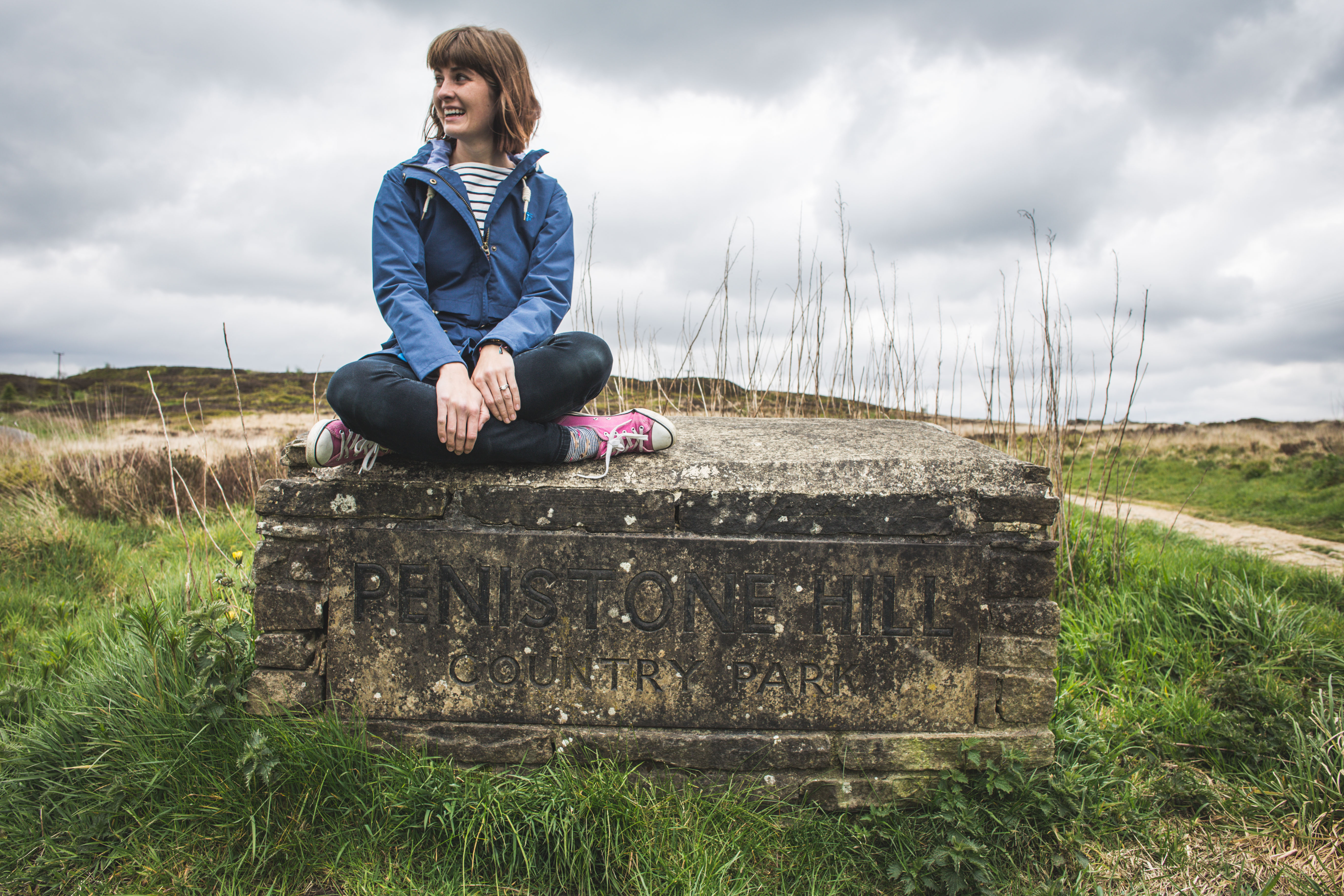
Step 3. There is a signpost: “Public Footpath to Penistone Hill and Oxenhope”. Go through the churchyard, down steps and turn right. Go through a gate on to an enclosed footpath and follow it to a junction with a path on the right.
Step 4. Turn right and follow a path to a road.
Step 5. Cross the road and turn half-left on the track.
Step 6. When you reach a fork, go right. Cross another gravel track by the sculptures of books half buried in the ground and over two dirt tracks. Just past picnic tables a signpost points right by a large boulder.
Step 7. Turn right and walk to another road.
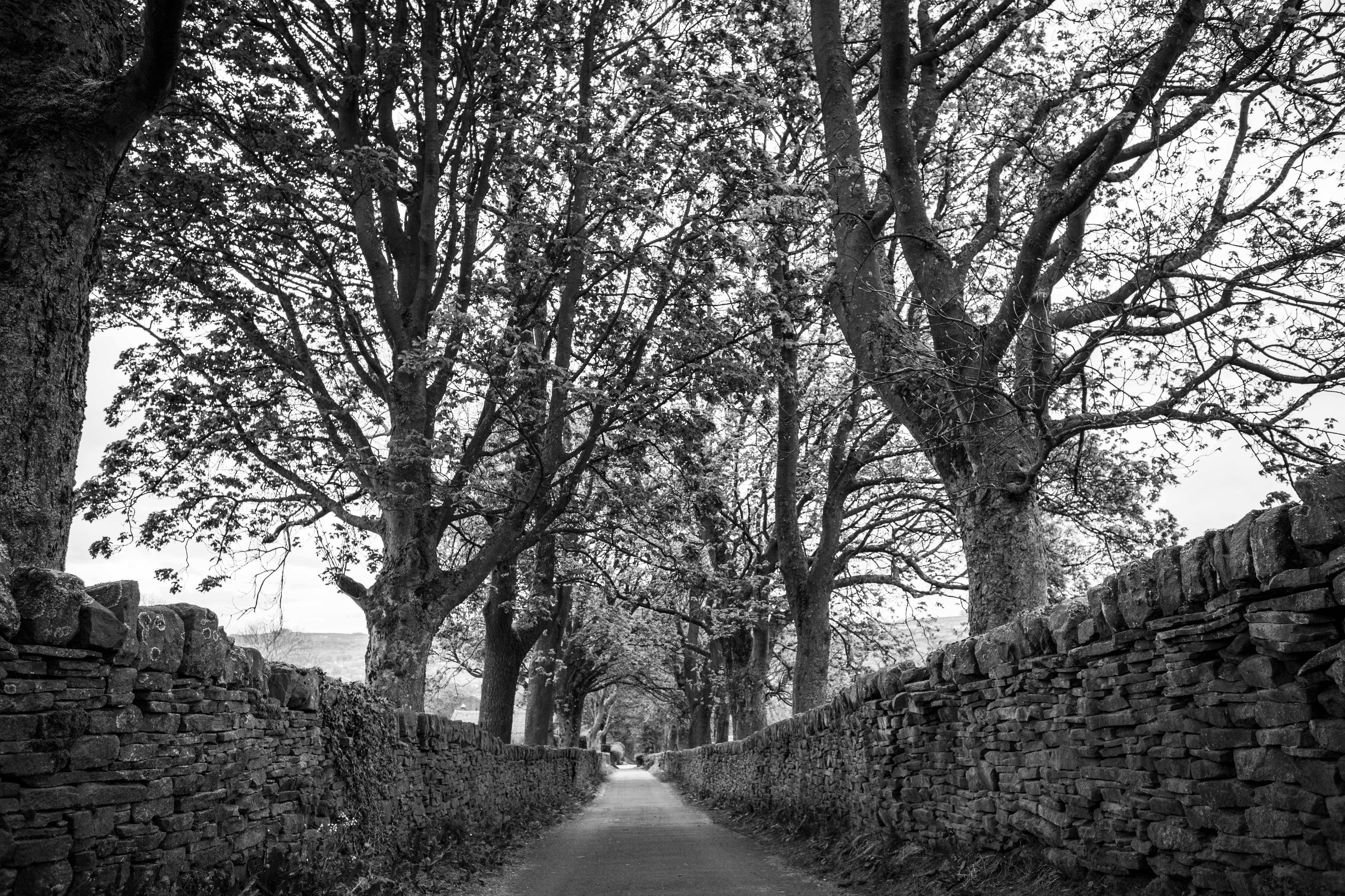
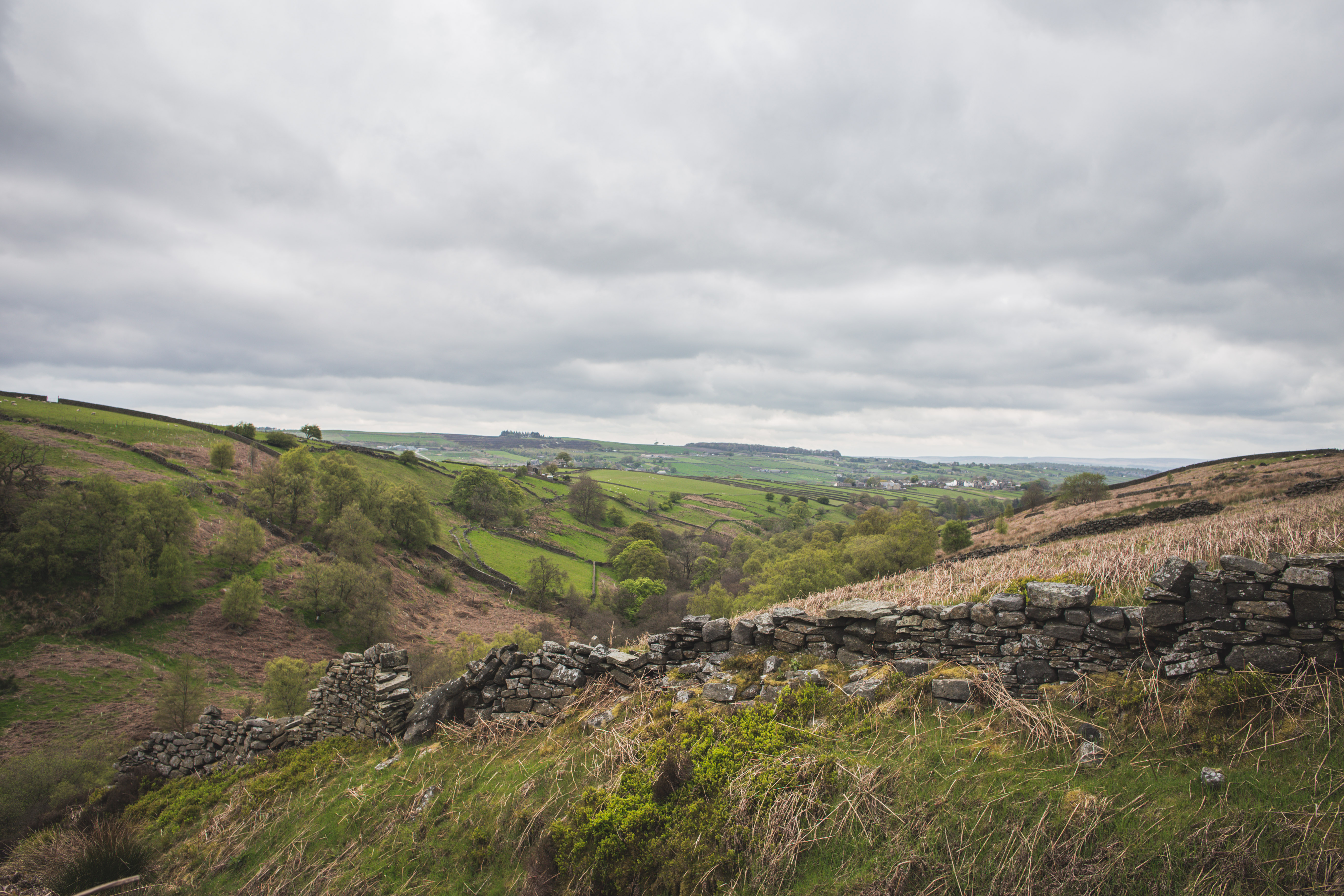
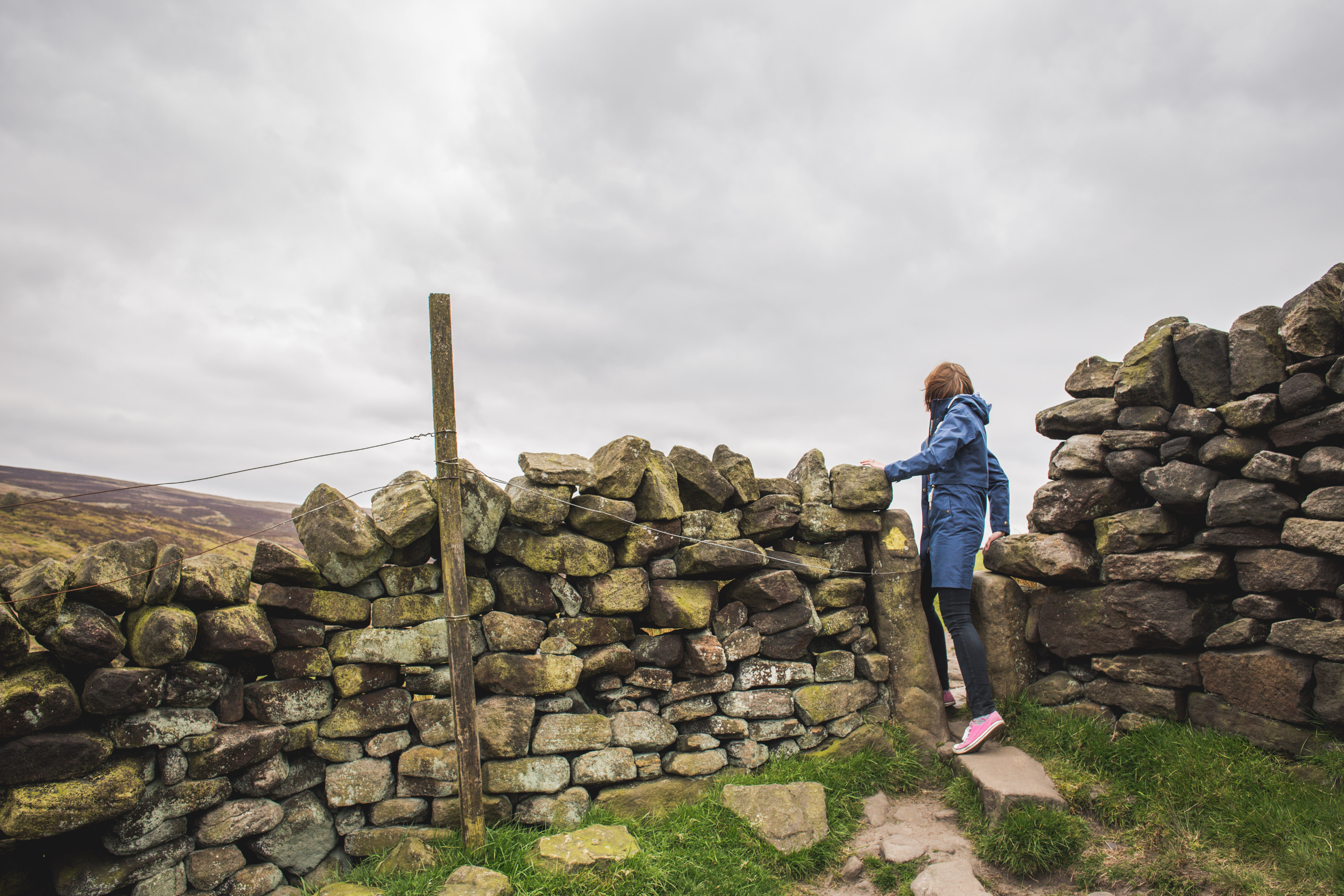
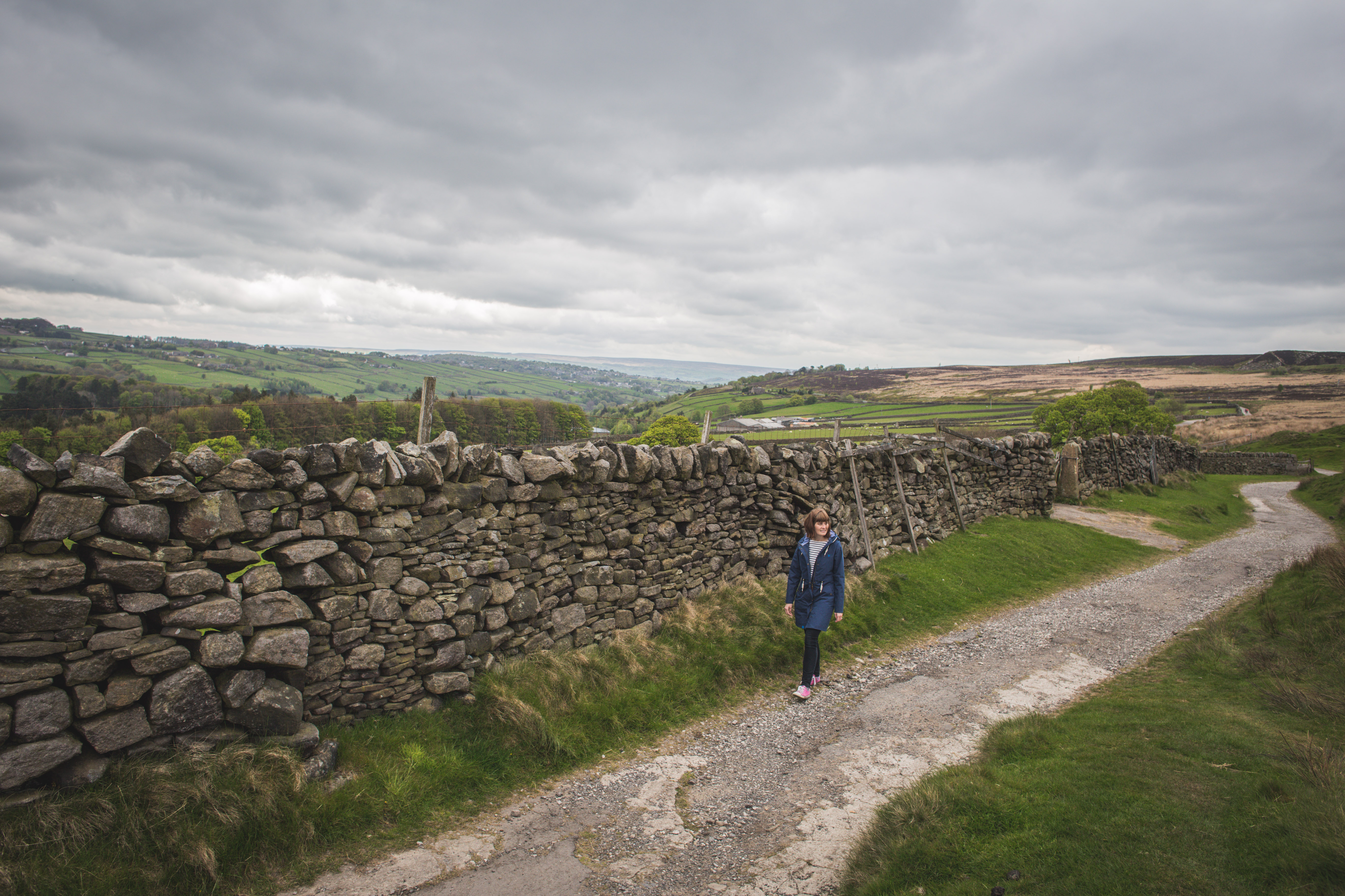
Step 8. Cross to the signpost on the other side of the road. Some 50m further is a broad, stony track where there is a farm gate and a cattle grid with a kissing gate between them. Go through and follow this track with the wall on your right for over 2km. The wall ends and is replaced by lower, tumbledown ones.
Step 9. Continue down some steps to the stream, where you can see the waterfalls.
Step 10. In front of you is the Brontë bridge.
Step 11. Cross the bridge and climb a steep bank to a kissing gate.
Step 12. From here the path curves up left. It joins a wall and you have to go through a squeeze stile in a corner.
Step 13. You pass a small stream that you must cross using stepping stones.
Step 15. Continue up the path to reach a wider paved path by some ruins.
Step 16. Turn left and in a few minutes you will reach Top Withens.
Step 17. From Top Withens retrace your steps to the signpost marked waymark 16.
Step 18. Instead of turning to the right, stay on this paved path, part of the Pennine Way. After 1.5km, at the end of some farm buildings, the track divides.
Step 19. Take the left fork. The path is wide and gravelled. You come to a cattle grid.
Step 20. Continue ahead over the cattle grid. Shortly after this the track is surfaced and leads down to a road junction in the village of Stanbury.
Step 21. The large boulder has the village name on it. Continue through the 20mph zone, passing a school, several pubs and lots of buildings with character. At the far end of the village you come to the 40mph signs.
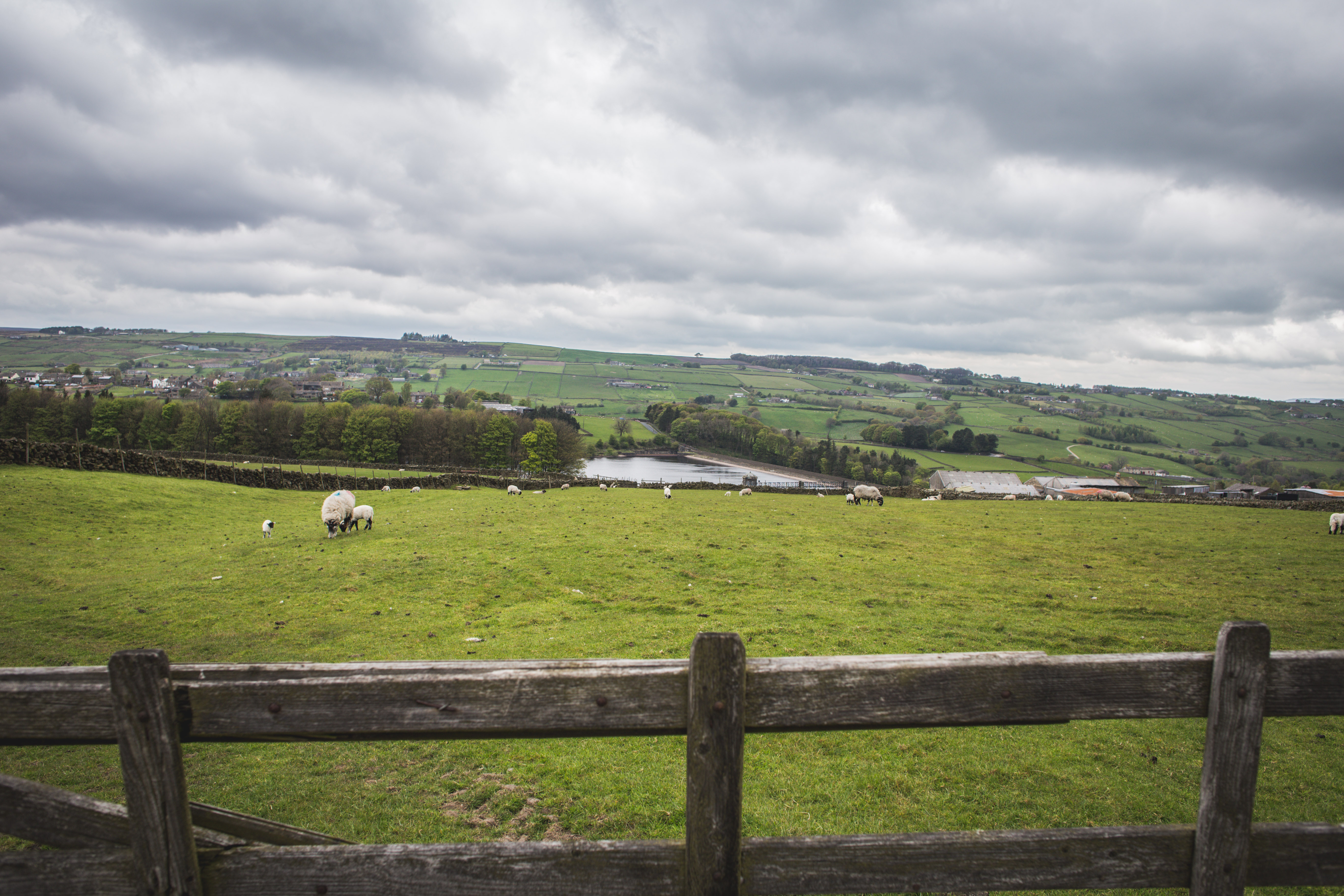
Step 22. Take the turning on the right and cross the reservoir. At the very far end on the left is the access road to some waterworks.
Step 23. A path, surfaced at first, leads from the access road, going uphill to join a road. Turn left when you reach it and use a footpath on top of an embankment on the left of the road. A road joins from the right and you then reach a T-junction. Turn right and soon go over a squeeze stile on the right.
Step 24. Go through and follow the path which goes to the left and is partly paved. It leads to a small gate in a corner.
Step 25. The path continues along the back of some houses and comes out on a cobbled street by the Brontë Museum. Keep straight on to the church.
Step 26 The Parsonage is on the right. Turn left in front of the church and you will be back in the alley that leads to the main street and the tourist office.